Apr 15, 2021 - News

How to paddle Minnehaha Creek for 22 miles through the Twin Cities

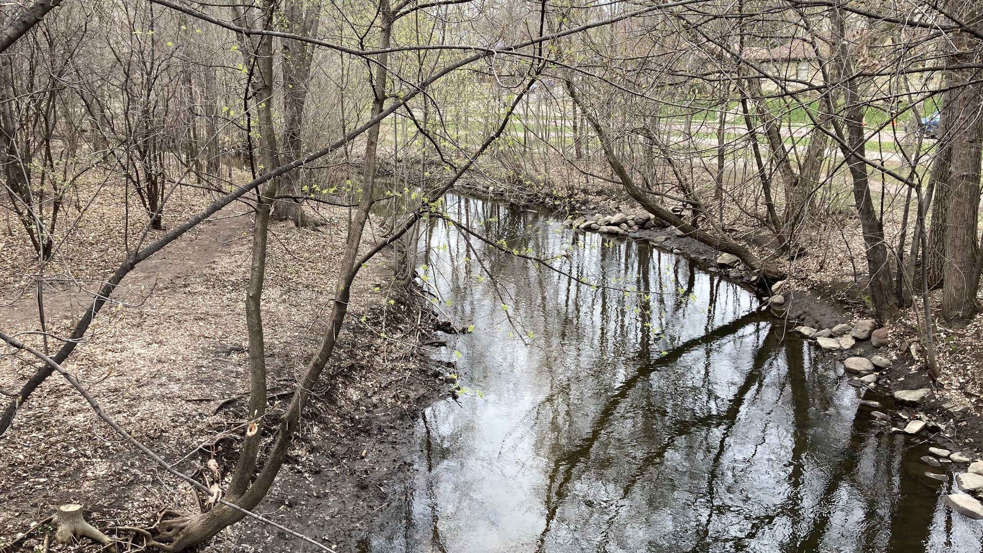
Minnehaha Creek runs 22 miles from Minnetonka to Minneapolis. Photo: Nick Halter/Axios

It's a secret to many in the Twin Cities, but Minnehaha Creek can be navigated by canoe or kayak between Lake Minnetonka and Minnehaha Falls.

The 22-mile stretch takes between 6 and 9 hours depending on water levels and how hard you paddle, according to the Minnehaha Creek Watershed District.

Jason Butterfield, a Chanhassen resident and commercial real estate broker, paddled the entire stretch a few years ago in a kayak.

  • "You've got to be prepared for a lot of elements like debris, branches and bogs," he said. "But the beauty of it is wandering and paddling through people's backyards."

Setting the scene: The creek begins in a wetland area below the Gray's Bay Dam in Minnetonka and eventually runs through the backyards of the some of the priciest homes in the Twin Cities.

  • It passes through two golf courses and a cemetery and runs alongside park trails, big-box stores, warehouses and even a Taco Bell.

Tip: You don't have to do the whole 22-mile stretch. There are 17 marked access points to the creek on this map by the Watershed District, which has a lot more helpful info.

  • Find out if the water flow is suitable for paddling here.
avatar

Get more local stories in your inbox with Axios Twin Cities.

🌱

Support local journalism by becoming a member.

Learn more

More Twin Cities stories

No stories could be found

Twin Citiespostcard

Get a free daily digest of the most important news in your backyard with Axios Twin Cities.

🌱

Support local journalism by becoming a member.

Learn more