Exclusive: New tools visualize the immense space junk problem

Add Axios as your preferred source to
see more of our stories on Google.
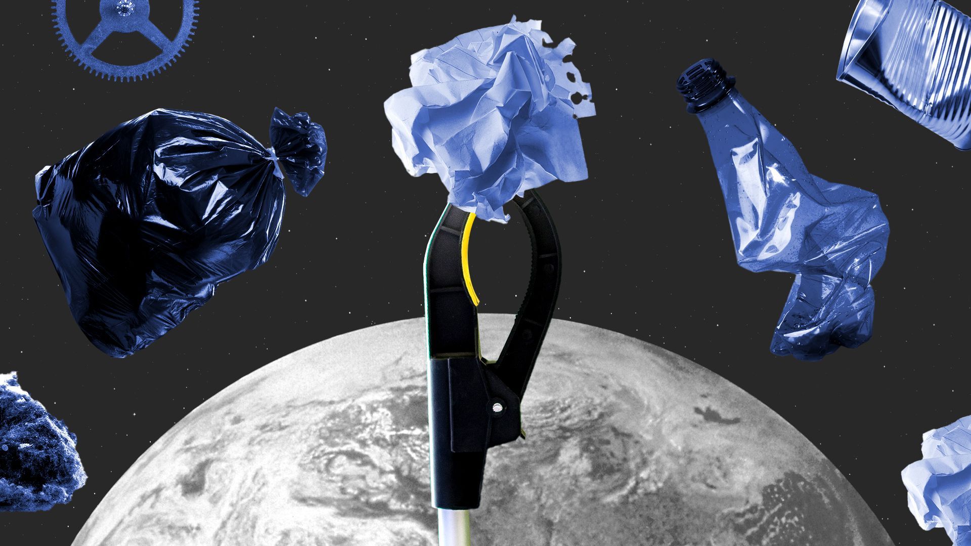
Illustration: Annelise Capossela/Axios
Privateer — a company focused on understanding and tracking space junk — is rolling out and updating tools to accurately visualize the orbital debris problem, the company's chief scientist tells Axios.
Why it matters: Scientists think there are millions of pieces of space junk swirling above our planet speeding in excess of 17,000 mph and threatening functional satellites in orbit.
- Tracking this junk and getting a sense for what it's all doing up there will allow mission managers to keep their spacecraft safe while also aiding in the fight against this looming environmental problem.
Driving the news: Privateer is updating its Wayfinder tool, which provides a near real-time, no-cost look at where satellites and space junk are at any given time.
- The company is also rolling out Crow's Nest, a feature that will allow users to see and track possible close calls and collisions in space.
- Crow's Nest also lists the top 20 "highest probability collision events at any given moment" when someone goes on the website, according to Privateer's chief scientist Moriba Jah.
- These tools use publicly available data from NASA and other organizations as well as atmospheric and probabilistic models to create a publicly available, accurate map of what's happening in orbit.
The big picture: "We're very much trying to incentivize the creation of a circular space economy," Jah tells Axios. "How do we first and foremost focus on the prevention of more pollution in space?"
- A "circular economy" in space would create incentives for companies to reduce their footprints in orbit by reusing and recycling satellites and rockets whenever possible and disposing of junk quickly and safely as needed.
- Jah hopes people who use Wayfinder will eventually be able to contribute their own data to the tool, acting as a "Waze traffic app, but for space."
What to watch: The company is also planning to roll out a new map showing the brightness of satellites that Jah hopes will be useful to astronomers planning observations.
