What scientists can learn from tracking disease outbreaks from space

Add Axios as your preferred source to
see more of our stories on Google.
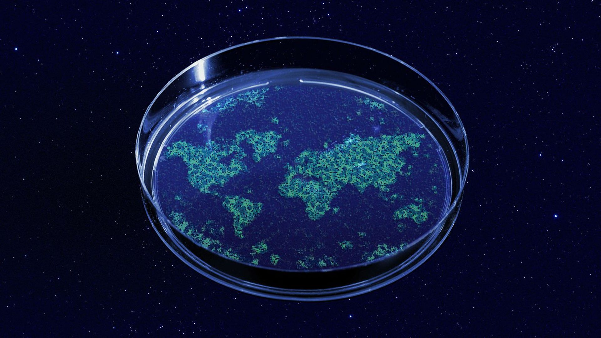
Illustration: Allie Carl/Axios
Scientists are tracking diseases from space and getting a new view of human health.
Why it matters: The proliferation of easy-to-use, relatively cheap and more comprehensive satellite data is allowing researchers to get a holistic view of what's happening on Earth during disease outbreaks and possibly learn how to predict the next one.
How it works: By keeping an eye from above on changes to vegetation and other ecosystem factors that can lead to outbreaks, researchers are starting to piece together correlations between habitat loss and urbanization, among other factors, and infectious disease.
- For example, a study published in 2010, used remote sensing data to find that a major predictor of monkeypox cases in humans was the proximity of people to dense forests and habitats where rope squirrels that can carry the virus lived.
- If those areas are closely monitored, it could help people on the ground figure out which areas are at the highest risk for infection.
- Habitat loss particularly impacts predators, leaving a plethora of infected prey that could circulate the disease or transmit it to other species.
- Remote sensing can be used "to measure how much habitat we are losing, at what speed, in which direction and in which area," Luis Escobar, an assistant professor at Virginia Tech, told Axios.
What to watch: Space data could one day be used to aid in a range of public health responses to certain diseases — from monitoring to mitigation.
- If health officials on the ground know when there's a high risk for a given outbreak, then they can put measures in place to help prevent it, according to Farhan Asrar, a clinician and researcher at the University of Toronto.
- "Once things happen, can we use those [satellite] images to prepare an ideal situation to set up offices and support facilities," Asrar said.
Where it stands: Satellites have already been used to learn more about the source of the Ebola virus, track an outbreak of Rift Valley fever and aid in the response to Zika.
- During the early months of the COVID-19 pandemic, satellite companies like Planet were able to track economic impacts of the virus from orbit, keeping an eye on empty parking lots and traffic.
- NASA also joined other space agencies to create a COVID-19 dashboard, making relevant information gathered from satellites easily available to the public and epidemiologists.
But, but, but: While this type of research holds promise, it's still in the relatively early academic phase.
- The scientists working with the remote sensing data and epidemiologists aren't yet collaborating with each other, making it hard to find the right applications for this kind of data and research.
- "We don't see strong collaboration between experts in geospatial analysis and epidemiology and remote sensing processing or generation of this data," Escobar said. "So I guess that's the first step."
- At the moment, the data isn't as accessible and available as it needs to be in order to have robust and frequent collaborations across specialties, and training is needed in order to make use of remote sensing data, Escobar added.
The bottom line: By understanding patterns seen from orbit, scientists could one day be able to predict where outbreaks will occur before they happen.
