Mar 23, 2022 - Economy
Summer forecast: Fewer weather delays at the airport

Add Axios as your preferred source to
see more of our stories on Google.
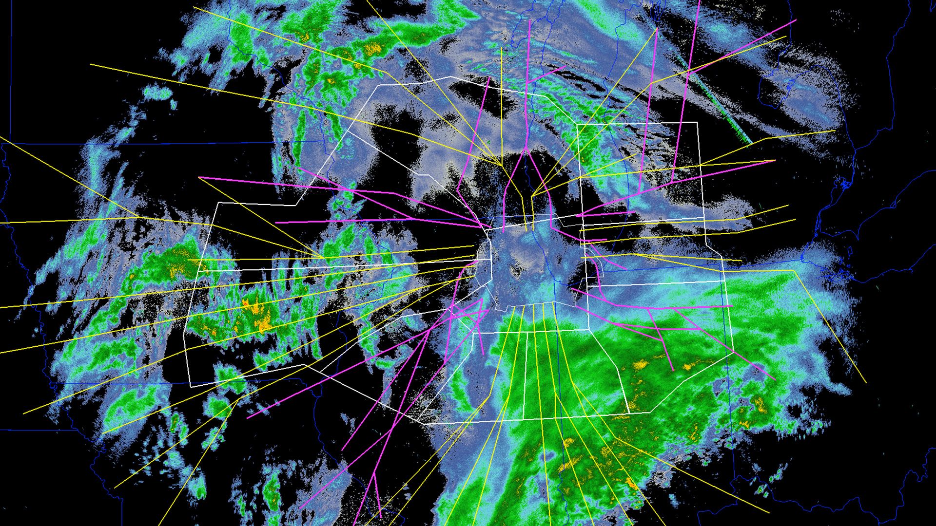
FAA data shows the effect of weather on flight arrivals (pink) and departures (yellow) in Chicago. Photo courtesy of FAA
