Apr 7, 2020 - Science

Five satellites close their eyes on our planet

San Francisco seen by a RapidEye satellite

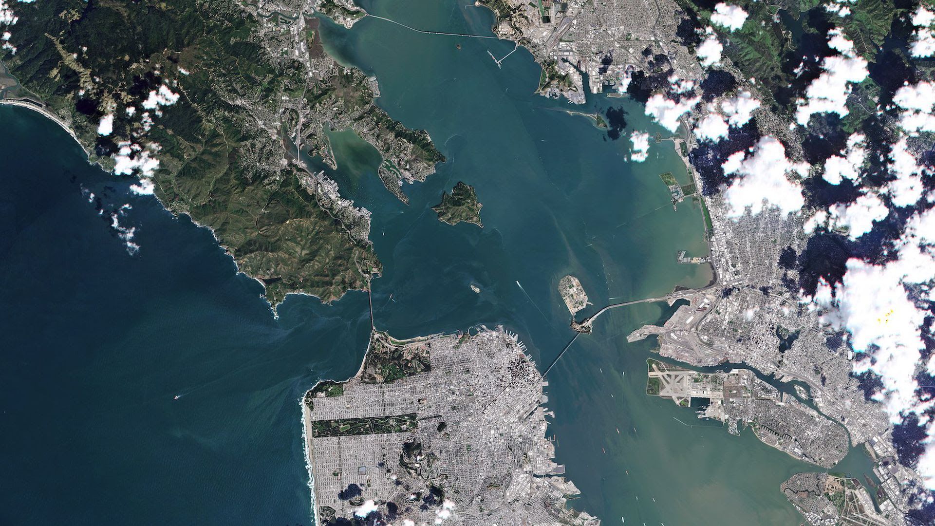
San Francisco seen by a RapidEye satellite. Photo: Planet Labs Inc.

After about 12 years of collecting photos of Earth from orbit, a set of five satellites have closed their eyes on our planet.

The big picture: Planet's RapidEye satellites, which first launched to space in 2008, contributed to a revolution in how we understand our planet.

  • Operating satellites that can see the Earth from space was initially only the purview of the most wealthy nations.
  • However, the recent proliferation of commercial satellite companies makes Earth data available to anyone, changing how we understand weather, climate, industry and more.

Details: Planet acquired the RapidEye satellites from BlackBridge in 2015, and it's created the world's largest collection of 5-meter satellite imagery, according to the company.

  • The constellation of satellites has captured more than 660,000 pictures of Earth's total landmass, Planet said.
  • The satellites' final photos show San Francisco, Berlin and Brandenburg, Germany.
  • The satellites could still function, but Planet says it's ending their operation in part to prevent them from becoming space junk that clutters orbit.

Between the lines: While many companies are collecting and attempting to analyze the data beamed down from orbit each day, big data from space still isn't yet widely applicable to a variety of industries.

  • Most companies that operate Earth-imaging satellites still rely on government contracts and major industries like oil and gas for much of their business.

Go deeper: Tracking epidemics from space

Go deeper