
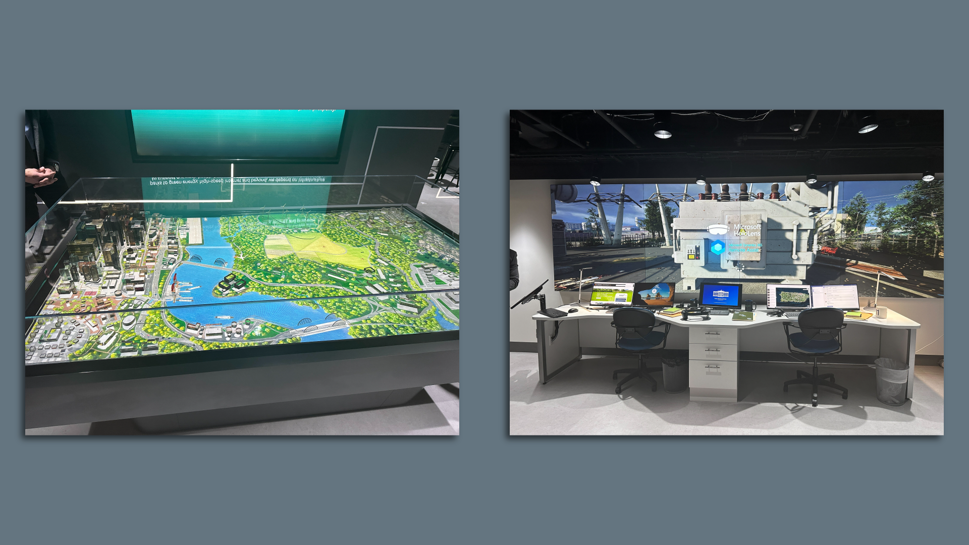
Inside Microsoft’s Digital Transformation Showcase. On the left, geospatial imagery, spaceborne data and analytics monitor current conditions and calculate future water level trends to mitigate risk from potential droughts. On the right, an example of Microsoft’s efforts to help civil defense and disaster response officials respond to emergencies. Photo: Maria Curi
