Weather whiplash

Add Axios as your preferred source to
see more of our stories on Google.
What if I told you it's going to be sunny and in the 80s this weekend?
The big picture: That's the forecast.
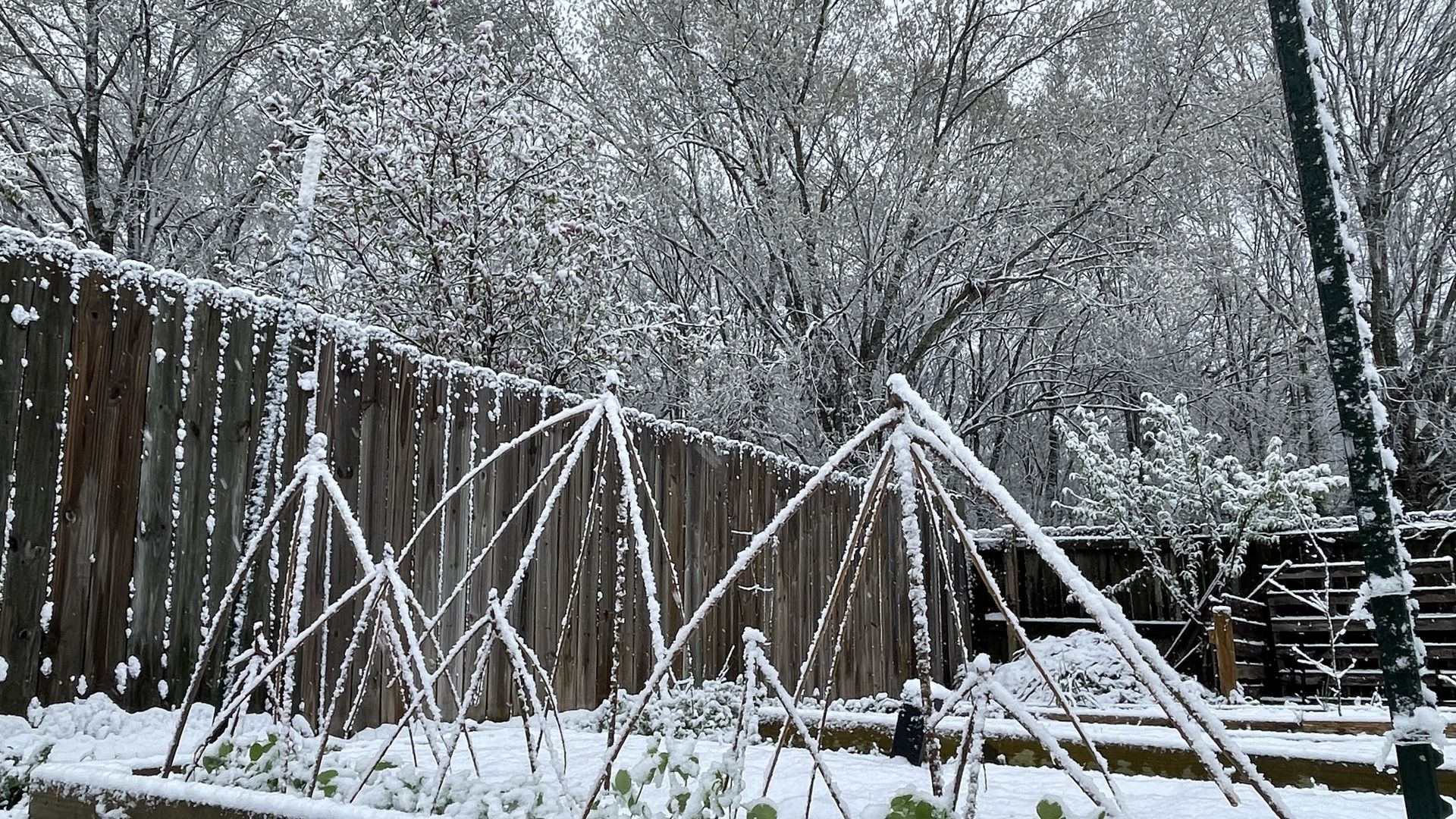
- Spring Break week in Huntsville kicked off with some Monday morning snow, as a powerful cold front stormed through the area overnight.
Catch up quick: It's all the Alabama weather this month: unusually hot; unusually cold, snow, severe storms, and we're only about halfway through.
What they're saying: "If we're going to have that kind of weather, we're going to have it in March, particularly," Kurt Weber, meteorologist with the National Weather Service in Huntsville, told Axios.
- After March, he said, it becomes much less likely that the Arctic air masses like the one from Canada that brought this cold snap, will make it down to Huntsville.
The latest: Areas of North Alabama saw up to two inches of snow — if briefly — Monday morning, Weber said.
- In general, snowfall totals ranged between 1-2 inches, but mostly accumulated in grassy areas, on tops of cars or in similar places.
Zoom in: The forecasted low last night was around 26, and the forecasted low tonight is 30, with a high today near 45.
- Starting tomorrow, temperatures will start climbing. Wednesday's high is around 59, with a low of 39. Thursday is set for a high near 69, Friday's is near 76, and both Saturday and Sunday have forecasted highs of 81.
By the numbers: Per National Weather Service data, the normal low on St. Patrick's Day is 42.4 and the normal high is 65.3.
- Normal highs for March 21 and 22 are 66.5 and 66.8.
- In a stretch of four days, temperatures will go from about 20 degrees below normal to about 14 degrees above normal.
What we're watching: Sunny skies, lengthening days and the retreat of that cold front back toward Canada mean warmer temperatures moving through the week, Weber said.
- Later this week, the real warm-up will come via warmer air moving in from Southern California/Northern Mexico, he added.