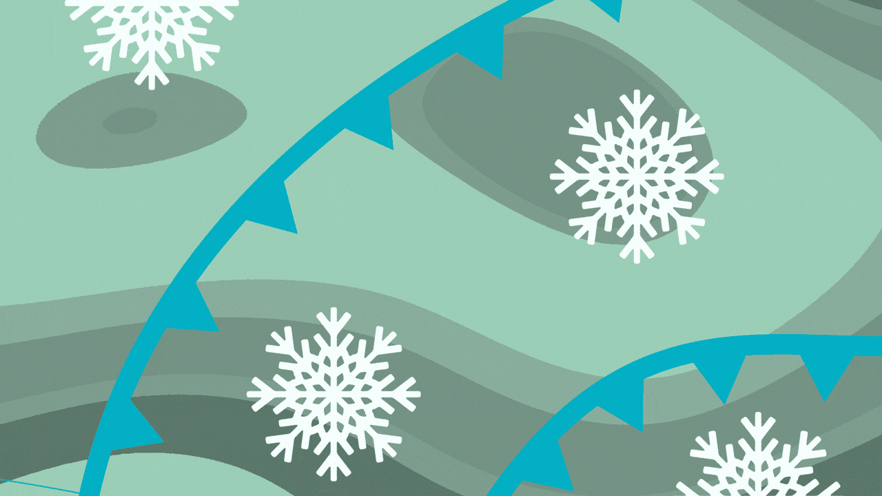
The cold is here to stay

Add Axios as your preferred source to
see more of our stories on Google.
Last weekend's dangerous winter weather is giving way to at least a week of colder-than-normal temperatures.
Catch up quick: Icy conditions early Saturday turned into steady rains that spurred flood warnings, and overnight Sunday into Monday brought plummeting temps that froze lingering moisture, impacting roads and closing schools.
- Some areas of northwestern Alabama reported more than a half-inch of ice over the weekend, said Becca Darish, forecaster for the National Weather Service in Huntsville.
- Windchill temperatures around the Huntsville area measured -2 to 10 degrees Monday morning, she said,
- When it's that cold, Darish urges folks to bundle up and stay warm, and delay going outside if possible.
What they're saying: "This very cold air mass that's going to linger through the week will disproportionately impact those areas," that saw impacts last weekend, she said.
- Low temperatures in the coming days mean all that ice may just stay frozen.
Zoom in: Temperatures today will cap out at around 40 with a low of 21, though wind chills will make that feel like 10-20, per NWS.
- For the rest of the week, highs will range from 42 on Thursday to 26 on Saturday, with lows from 21 to 13.
- That's quite a bit colder than the normal temperature range for January of 50-55 on the high end to mid-30s on the low end.
Yes, but: "It's not abnormal that we're seeing variations, but yes, we are much below normal," Darish told Axios.
The latest: Huntsville City Schools are operating on a two-hour delay today, as are Madison County Schools.
What we're watching: "We are monitoring this weekend for any low precipitation chances," Darish said, as that precipitation could fall as snow.
- "But we're not concerned about widespread impacts."