Polar vortex could bring record-cold temperatures in parts of Midwest, Northeast

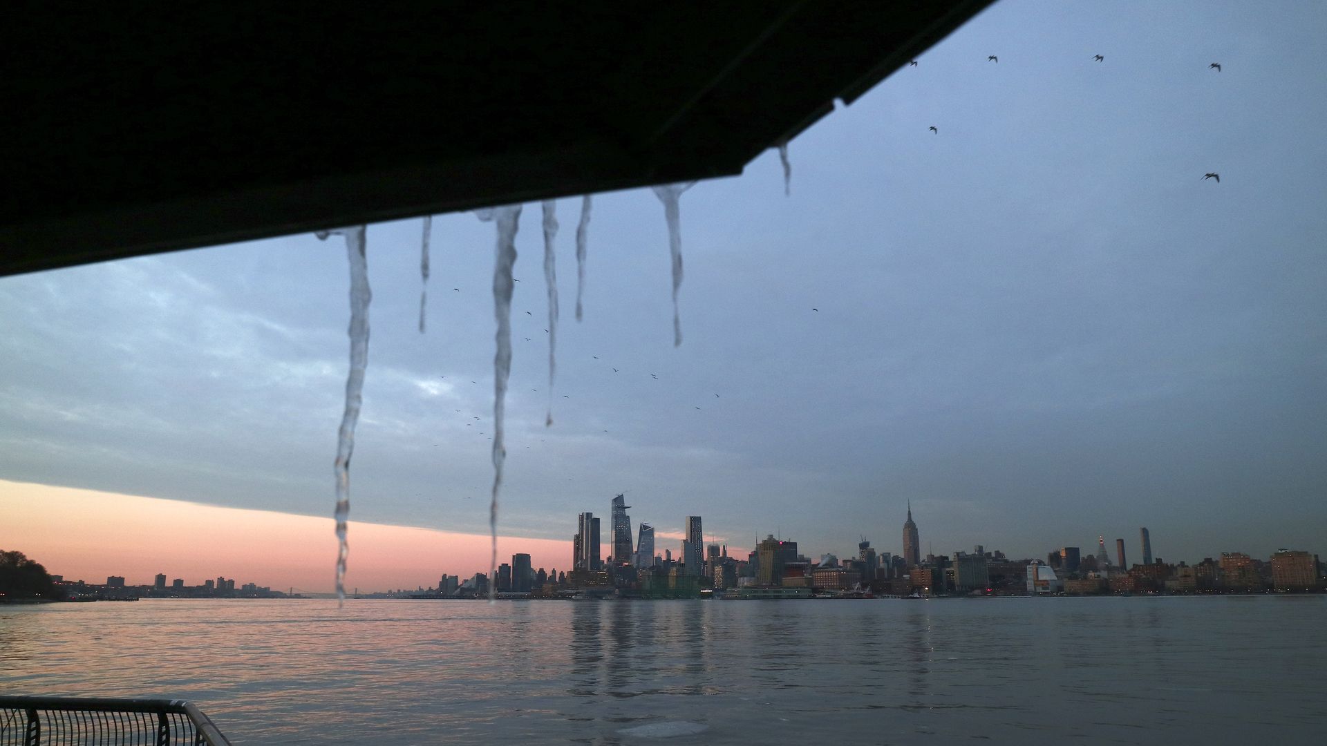
Icicles hang in front of Hudson Yards and the Empire State Building at sunset in New York City. Photo: Gary Hershorn/Getty Images
A polar vortex is expected to bring snow over the next few days to parts of the Northeast and Mid-Atlantic and record-challenging cold temperatures from the Upper Midwest to New England, the Washington Post reports.
The big picture "A lobe of the tropospheric polar vortex will pinch off from its main circulation closer to the Arctic, sagging southeast across the eastern Great Lakes and New England, translating to numbingly cold surface temperatures for May," the Post writes.
- In the Upper Midwest and Great Lakes, the cold will start as early as Friday. Chicago could see a high of 45°F, just a day after experiencing clear skies and a high in the mid-60s.
- Washington, D.C. is forecasted to stay below 52°F on Saturday — that has only happened twice in May since 1960.
- Temperatures are expected in the low-50s in New York Saturday, far from its average high of 70°F around this time of year.
- Central and northern New England could see snow late Friday and early Saturday.
- Temperatures along the Gulf Coast could fall into the 30s and 40s.
- Parts of Mississippi and Alabama will also see the cold front.
The other coast: The polar vortex in the eastern United States will coincide with record heat in the West and Southwest, including California, Nevada, Arizona and New Mexico, according to the Post — separating the country into two weather extremes.