Sep 8, 2018 - Energy & Environment

New map of Antarctica accurately depicts continent in "stunning detail"

An overview of Langhovde Glacier in Antartica

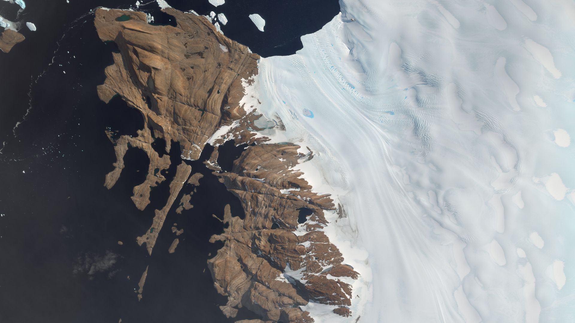
An overview of Langhovde Glacier in Antarctica. Photo: DigitialGlobe/Getty Images

In collaboration with Ohio State University and the University of Minnesota, scientists have built a new map of Antarctica using high resolution satellite images to show the continent in "stunning detail," USA Today reports.

Why it matters, per Axios Science Editor Andrew Freedman: In order to determine the stability of Antarctica's massive ice sheets, particularly the West Antarctic Ice Sheet that has been losing mass, scientists need accurate maps of the ground the ice is resting on. Improvements in mapping could enable researchers to narrow the range of uncertainty regarding future sea level rise from Antarctic ice melt.

Go deeper