Aug 2, 2018
Lava from Kilauea eruption has added a mile to Hawaii's coastline

Add Axios as your preferred source to
see more of our stories on Google.
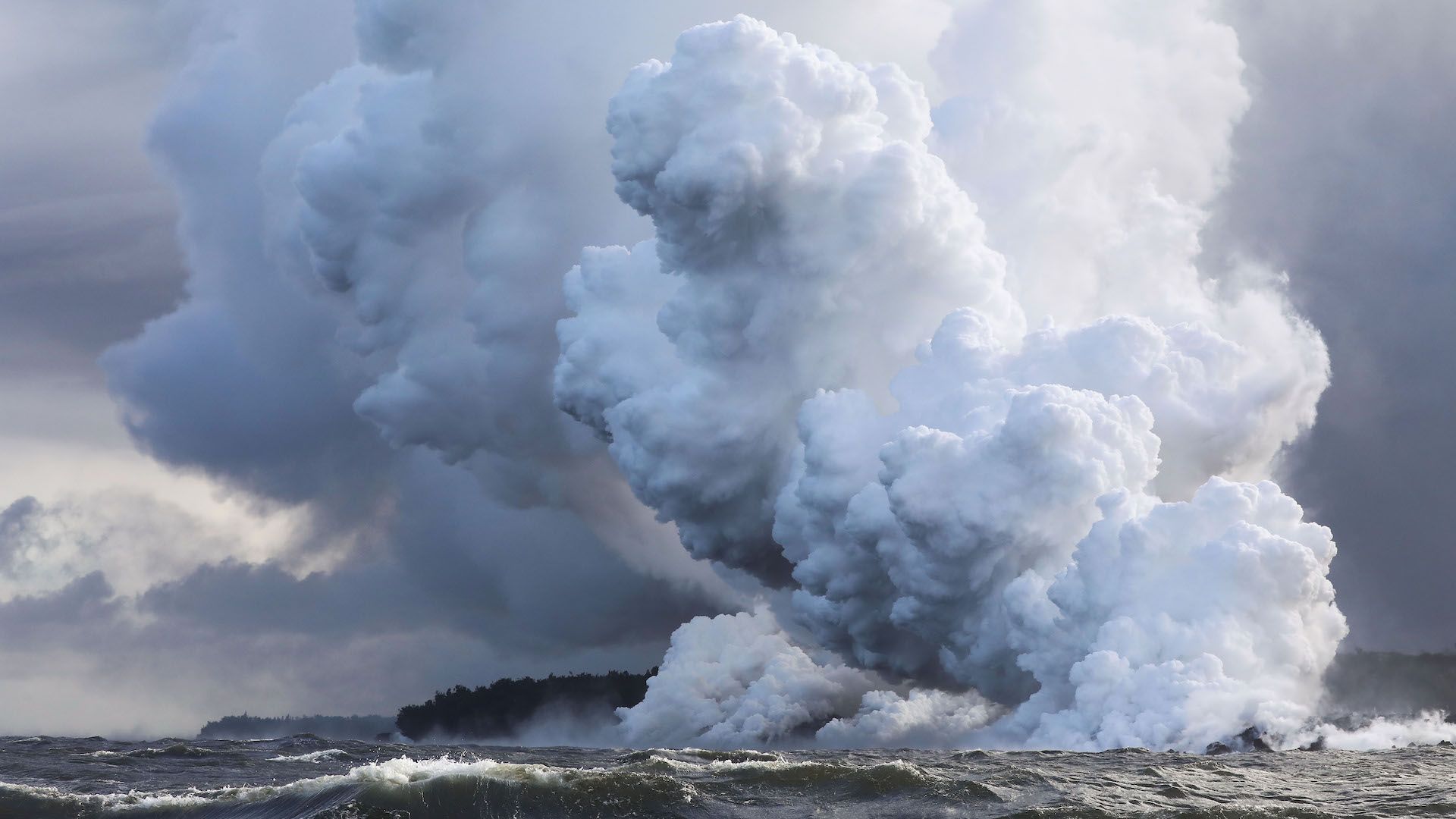
Steam plumes rise as lava enters the Pacific Ocean, after flowing to the water from a Kilauea volcano fissure, on Hawaii's Big Island on May 20, 2018 near Pahoa, Hawaii. Credit: Mario Tama/Getty Images
